
Satellite Imagery Pricing
Satellite imagery pricing starts at $1 per square kilometer for 2m archive imagery, and reaches $80 per square kilometer for 25-30cm emergency tasking. Buy by resolution tier, from 25-30cm to 30-50m, with archive, new tasking, priority and emergency options priced instantly based on your area, resolution and delivery speed.
Priority and Emergency tasking are not available at this resolution tier.
Priority and Emergency tasking are not available at this resolution tier.
SAR / Hyperspectral / Multispectral
SAR, Multispectral and Hyperspectral data. Custom pricing applies based on data type and collection urgency.
Prices shown are indicative starting rates per resolution tier. Your exact price is calculated instantly in the search tool based on area, resolution, cloud cover and delivery speed before you order — no quotes or sales calls needed. Orders of 250km²+ qualify for volume pricing with mosaicking included free; areas of 2,500km² or more are priced as a custom enterprise order.
Technical Uplifts and Mineral Exploration Pricing
Optional collection features that stack on top of the base rates above, plus volume pricing for AI-driven mineral and gold exploration analytics.
Technical Options (New Tasking)
Minimum collection width is 5km. Uplifts apply to new tasking orders and stack with each other where compatible; shown here for 25-30cm and 31-50cm tiers unless noted.
Khaza'in Mineral & Gold Exploration Analytics
Volume-based pricing for AI-driven hydrothermal alteration mapping and target ranking. Every tier includes a color-coded anomaly map, GPS target coordinates, downloadable GIS shapefiles and an optional geological interpretation report.

Search, Browse and Request Imagery in One Place
Draw your area on the map, see real archive scenes with pricing shown instantly, and order archive imagery or new tasking directly, all in one workspace.
- SearchDraw or upload your area, set dates and cloud cover.
- BrowseReal thumbnails, resolution and an indicative price per scene.
- RequestOrder archive imagery or new tasking, no quote or sales call needed.
What You Actually Get
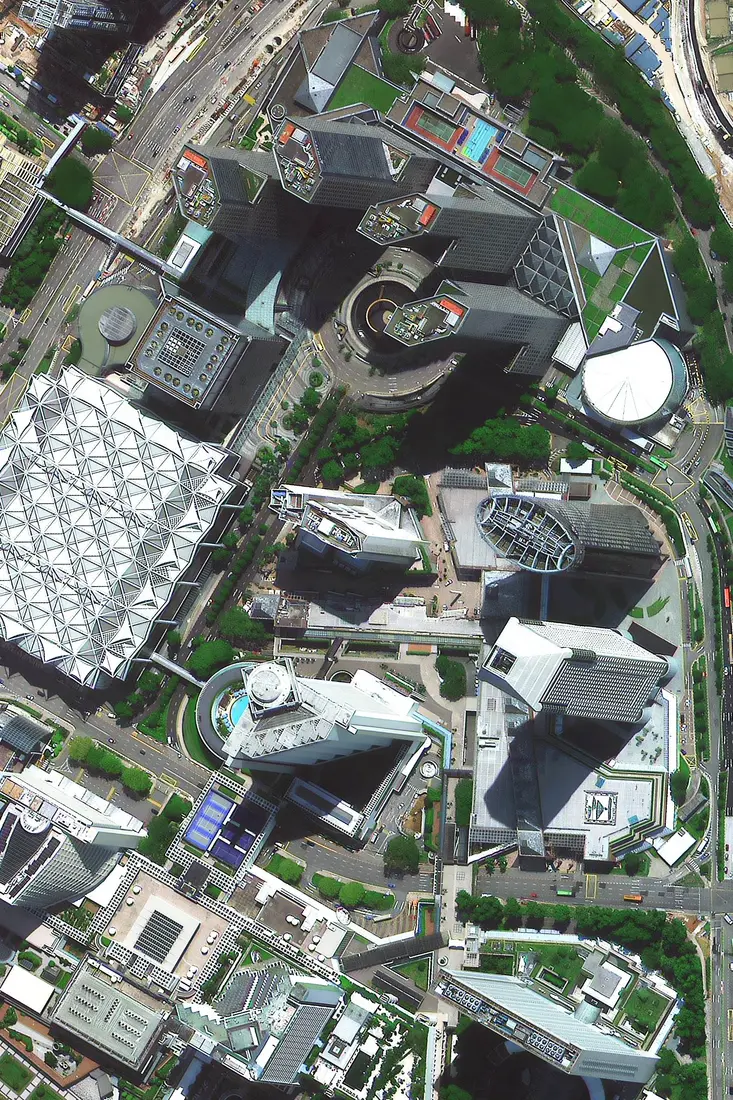
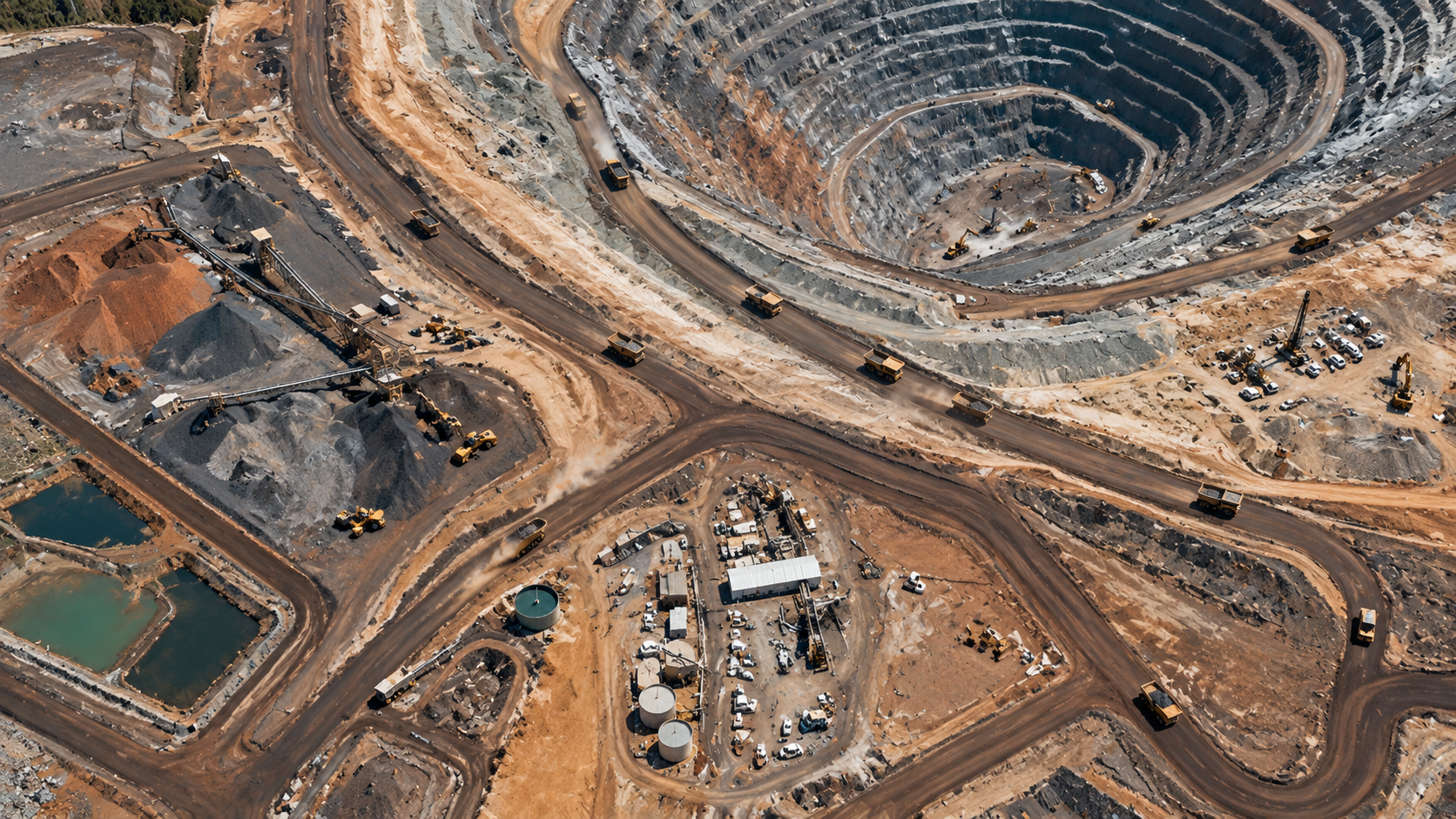
Real satellite imagery from our archive, across resolutions and industries, so you know exactly what detail to expect before you order.




Need a Custom Quote?
Tell us your area, resolution and timeline — our team replies by email, usually within one business day.