
Buy Satellite Images delivers emergency satellite tasking in as fast as 24 hours, priority in 4 to 7 days, and standard in under 7 days, across multiple satellite providers tracked and ordered on one single online platform. Our live, near real-time tracker alerts you the moment a satellite is passing overhead, so you can order new, current imagery of that exact location directly on the map below.
Emergency satellite tasking delivers in as fast as 24 hours, priority in 4 to 7 days, and standard new tasking in under 7 days. Pick the tier that matches your deadline when you order below.
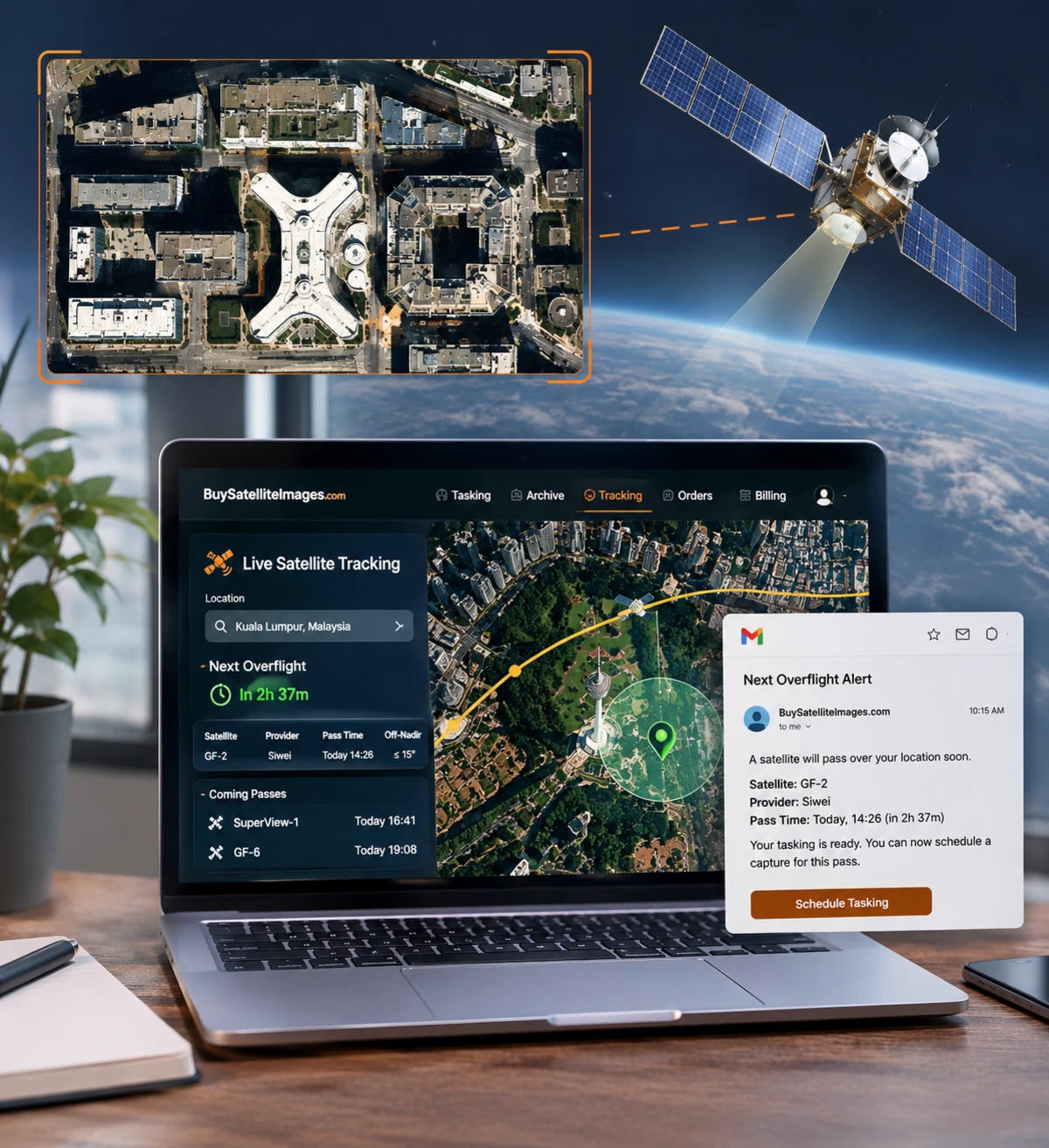
Buy Satellite Images tracks satellites in real time and alerts you the moment one is passing overhead, so you can task new satellite imagery for that exact pass.
Satellite tasking works differently from buying archive imagery. Instead of an image that already exists, you are requesting an on-demand satellite imagery capture, timed to an upcoming orbit pass over your exact location from either of our two satellite providers, compared, booked, and tracked on one single platform instead of a separate account with each provider.
Set your location in the tool below and it shows live EO satellite tracking for that point: the next predicted overflight passes, which imaging satellite and provider is making each one, as soon as they are calculated, not a simulation. Unlike a satellite tracking app you install on your phone, it runs directly in your browser, so there is nothing to download before you can see a pass or order new tasking for it.
Track our tasking satellites live, right now, for free, no signup required, on a real-time 3D globe. Positions are propagated from the latest public orbit data directly in your browser, the same calculation used for the overflight predictions above. Click any satellite for its details and ground track.
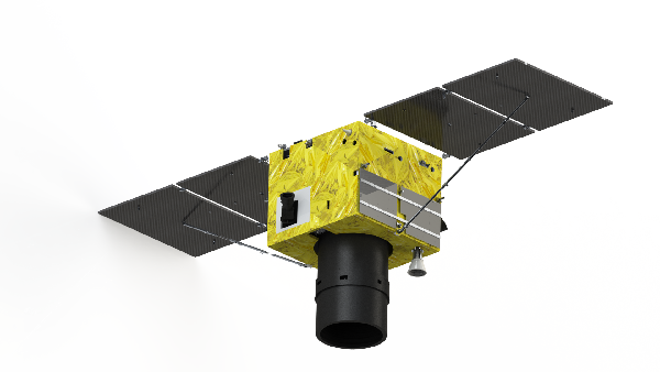
New satellite tasking lets you buy new satellite imagery of any location by scheduling a fresh capture instead of searching an existing archive. The tool above combines that with live EO satellite tracking, so ordering and tracking happen in one place rather than two separate apps.
Every predicted pass names the exact imaging satellite and provider making it, so you can tell at a glance which one you would be tasking. 14 tasking satellites across 2 providers are currently in the catalog:
| Provider | Satellite Family | Satellites | Native Resolution | Swath Width |
|---|---|---|---|---|
| Siwei | SUPERVIEW NEO-1 01, SUPERVIEW NEO-1 02, SUPERVIEW NEO-1 03, SUPERVIEW NEO-1 04 | 4 | 30cm | 12km |
| 21AT | BEIJING-3B | 1 | 50cm | 22km |
| Siwei | SUPERVIEW NEO-3 01, SUPERVIEW NEO-3 02 | 2 | 50cm | 12km |
| Siwei | GAOFEN-7 | 1 | 65cm | 20km |
| Siwei | GAOFEN-2 | 1 | 80cm | 45km |
| 21AT | DMC3-FM1, DMC3-FM2, DMC3-FM3, SSTL S1-4 | 4 | 100cm | 24km |
| Siwei | GAOFEN-6 | 1 | 200cm | 90km |
Tasking costs more than archive imagery because a satellite is scheduled specifically for your request. These are the same tiers and rates shown on our pricing page, filtered to tasking only.
Priority and Emergency tasking are not available at this resolution tier.
Priority and Emergency tasking are not available at this resolution tier.
SAR / Hyperspectral / Multispectral
SAR, Multispectral and Hyperspectral data. Custom pricing applies based on data type and collection urgency.
Prices shown are indicative starting rates per resolution tier. Your exact price is calculated instantly in the tool above based on area, resolution and delivery speed before you order. Volume discounts and add-ons, such as cloud cover or off-nadir angle restrictions, are on the full pricing page.
Every industry below can order a fresh, on-demand capture instead of relying on whatever the archive already has.

Order a brand-new, up-to-date image of a growth corridor or infrastructure project instead of relying on an older archive scene, so your planning decisions are based on what the site looks like today.

Crop conditions change week to week, so instead of an archive image from months ago, task a new capture timed to the growth stage you actually need to assess.

A pit or stockpile changes daily, so task a fresh image around the exact date you need it, instead of waiting on whatever the archive happens to already hold.

Rather than waiting for the next scheduled archive pass, task a capture right when you need confirmation of a change on the ground, deforestation, a coastline shift or a flood extent.

A pipeline or facility incident cannot wait for the archive to catch up. Task a priority or emergency capture and track exactly when a satellite will be overhead.

After a flood, fire or storm, the archive will not have what you need. Task emergency satellite capture and get a notification the moment a usable pass comes up.

Track a build week by week with new tasking timed to your own schedule, rather than an archive image that may be months out of date.

Vegetation and terrain around a line or corridor change between archive passes. Task a fresh capture for the exact stretch and date you need inspected.
Just want to see your own address? Try satellite view of my house, our dedicated search page for home addresses. Looking for an image that already exists instead? Browse the archive imagery search. Need to measure an area first? Try the free satellite area calculator. Have questions before ordering? Contact our team, or see every tier on the pricing page.
Quick Enquiry
Tell us your area, timeline, and resolution and our team will reply with a tasking plan and pricing — usually within one business day.
Thanks — we'll get back to you by email shortly.
