Archive Imagery or New Tasking, How to Choose | Buy Satellite Images
On this page
- What Is Archive Satellite Imagery Search
- What Is Satellite Tasking
- Archive vs Tasking, Side by Side
- Satellite Imagery Pricing, Archive vs Tasking by Resolution
- When Archive Imagery Is the Right Choice
- When New Tasking Is the Right Choice
- How to Decide Between Archive and Tasking
- 01. Search the archive first
- 02. Task only when the date itself matters
- 03. Match the tasking mode to your timeline
- 04. Combine both for a timeline
- How Buy Satellite Images Helps You Choose
- Frequently asked questions
- Sources and further reading
Quick answer
Archive satellite imagery already exists, so you can buy and download it in minutes at the lowest price per square kilometer. Satellite tasking schedules a brand new capture over your exact site and date, which takes days instead of minutes and costs more, because a satellite still has to fly over your coordinates. Check the archive first for cost and speed, and task a new satellite only when you need a specific date, current ground conditions, or a location the archive has not covered recently.
What Is Archive Satellite Imagery Search
Archive search looks through images a satellite constellation already captured, then lets you filter the results by date, resolution, cloud cover, and sensor type. Nothing new gets collected, you are browsing and buying a scene that is already sitting in storage, so delivery can happen almost as soon as you pay.
How old archive imagery gets depends on the satellite and the location. Some sites have been imaged every few days for years, others only a handful of times. Vantor, formerly Maxar, holds one of the largest commercial archives in the industry, over 125 petabytes of imagery dating back to 1999. On our own portal, archive search pulls from the 21AT and Siwei constellations, with coverage ranging from scenes captured hours ago to several years back, depending on how often a satellite revisits that part of the world.
What Is Satellite Tasking
Satellite tasking books a satellite to photograph your exact site on a future date you choose, instead of pulling from what is already recorded. You set the area, the date window, and sometimes a maximum cloud cover or viewing angle, then the provider schedules a pass that meets those conditions.
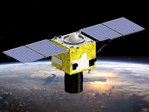
Agile, high-revisit satellites make this practical. SuperView Neo-1 revisits most of the planet daily at 0.3 m resolution, and the four-satellite SuperView-1 constellation adds more daily opportunities at 0.5 m, so a tasking order rarely waits long for its first chance at a usable pass.
- Standard tasking. Joins the normal collection queue, the most affordable new-capture option.
- Priority tasking. Moves ahead of standard orders for a faster first attempt.
- Emergency tasking. Jumps to the front of the queue for active, time-critical situations such as a flood, wildfire, or earthquake.
Archive vs Tasking, Side by Side
| Factor | Archive search | New tasking |
|---|---|---|
| Image already exists | Yes | No, a satellite has to pass over your site first |
| Typical delivery time | Minutes to hours after you order | A few days for standard, faster for priority, fastest for emergency |
| Starting price per km² | $1 to $20, by resolution | $2 to $80, by resolution and mode |
| You choose the exact date | No, fixed to when it was captured | Yes, within your requested window |
| Weather risk | None, the scene is already captured | Clouds can force a retry on the next pass |
| Minimum order size | 25 km² | 100 km² |
| Main advantage | Cheapest and fastest option when a usable scene already exists | Guarantees a current, specific-date capture |
| Main trade-off | Fixed to whatever conditions existed on the day it was captured | Costs more and depends on weather and the next available pass |
Satellite Imagery Pricing, Archive vs Tasking by Resolution
Price is set per square kilometer and depends on resolution tier and delivery speed. These are the starting rates on our pricing page, in USD, archive imagery from a 25 km² minimum order and new tasking from a 100 km² minimum.
| Resolution tier | Archive | New (standard) tasking | Priority tasking | Emergency tasking |
|---|---|---|---|---|
| 25-30 cm, super high | $20 | $30 | $45 | $80 |
| 31-50 cm, very high | $13 | $20 | $37 | $66 |
| 51-80 cm, high | $5 | $8 | Not offered | Not offered |
| 2 m, moderate | $1 | $2 | Not offered | Not offered |
Stereo and tri-stereo tasking are available at the two sharpest tiers only, $60/km² and $90/km² at 25-30 cm, $40/km² and $60/km² at 31-50 cm. Orders of 250 km² or more qualify for volume pricing with mosaicking included free, and areas of 2,500 km² or more are priced as a custom enterprise order. Your exact price is calculated instantly in the portal from your area, resolution, cloud cover, and delivery speed before you order, these tiers are the starting point, not the final figure.
When Archive Imagery Is the Right Choice
- Before-and-after comparisons. Pull two or more past dates to measure change over time, construction progress, deforestation, urban growth.
- Due diligence. Check a site's history before a site visit, land purchase, or investment decision.
- Insurance claims. A pre-event baseline image, captured before a storm or fire, is only available from the archive.
- Research and reporting. Academic studies and market reports usually need a time series, not one new capture.
- Tight budgets and deadlines. When any reasonably recent, clear scene will do the job, archive is both cheaper and faster.

When New Tasking Is the Right Choice
- A specific date matters. Legal evidence, a contract milestone, or a harvest window needs the exact day, not whatever the archive happens to have.
- No recent coverage exists. Remote or rarely imaged areas can sit months or years between archive passes.
- Active emergencies. A flood, wildfire, or earthquake needs current conditions, which only a new capture can show.
- Compliance checks. Verifying construction progress or land use on a set date for a permit or audit.
- Guaranteed conditions. Tasking lets you request a maximum cloud cover or viewing angle in advance, archive gives you whatever was already recorded.

How to Decide Between Archive and Tasking
01. Search the archive first
It is faster and cheaper whenever a clear, usable scene already exists, which covers most projects.
02. Task only when the date itself matters
If any reasonably recent scene works, stay with archive. If the project needs a specific day or current conditions, move to tasking.
03. Match the tasking mode to your timeline
Standard for a normal project schedule, priority when you need the first attempt sooner, emergency only for an active, time-critical event.
04. Combine both for a timeline
Pull an archive scene for the "before," then task a new capture for the "after," rather than tasking twice.
How Buy Satellite Images Helps You Choose
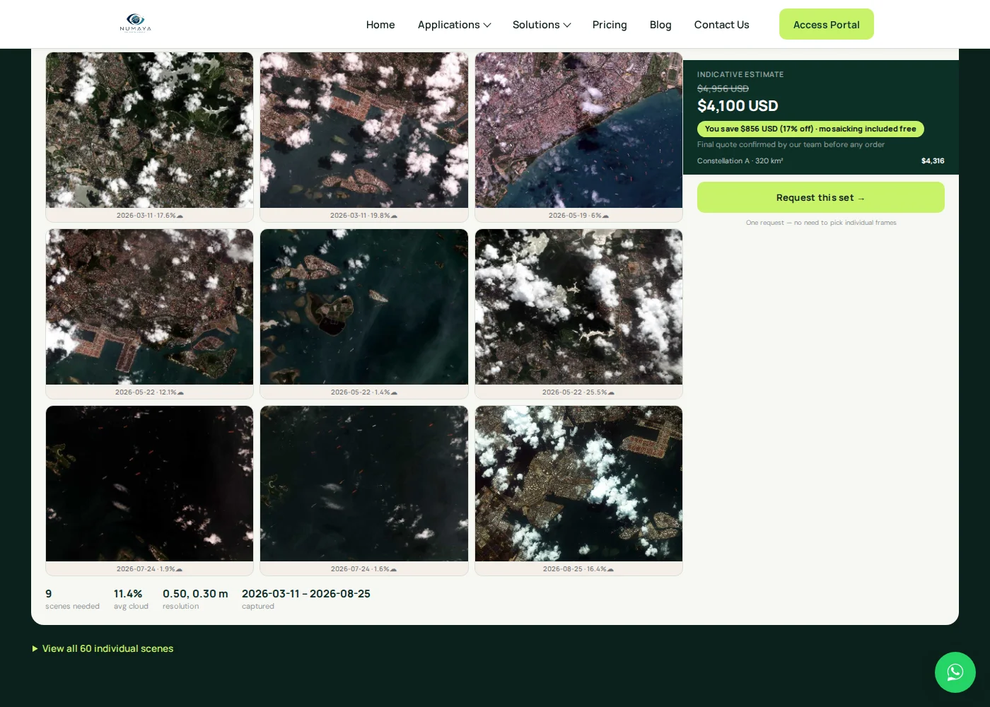
Buy Satellite Images is the imagery portal of XRTech Group, in business since 2019. One search on our portal checks archive and new tasking across both the 21AT and Siwei constellations at once, across optical, multispectral, SAR, and hyperspectral sensors, and shows real scene thumbnails with capture date, cloud cover, and a live price before you commit to either option.
Most providers quote up to two weeks for delivery. We respond within 48 hours for archive imagery, roughly twice the industry's typical pace, and our tasking desk has delivered under real pressure, nine flood zones across 4,100 km² of Sri Lanka disaster coverage, delivered in three days from the emergency call, while other providers quoted three-week lead times for the same job.
Search archive and tasking together, see the price first
Draw your area, set a resolution and date window, and compare real archive scenes against a live tasking estimate from the same search, before you pay for either.
Key takeaways
- Archive imagery already exists and typically delivers in minutes to hours, starting around $1 to $20 per square kilometer depending on resolution.
- New tasking schedules a future satellite pass over your exact site, starting around $2 per square kilometer for 2 m standard tasking, up to $80 for 25-30 cm emergency tasking.
- Priority and emergency tasking are only offered at 25-30 cm and 31-50 cm resolution, not at 51-80 cm or 2 m.
- Check the archive first every time, and task a new satellite only when the date, current conditions, or a coverage gap genuinely require it.
- Combining an archive scene for "before" with a new tasking order for "after" covers most before-and-after projects without tasking twice.
Frequently asked questions
What is the difference between satellite tasking and archive search?
Archive search buys an image that was already captured and is ready to deliver right away. Satellite tasking schedules a brand new capture over your exact site and date, which takes longer and costs more because a satellite has to fly over your coordinates first.
Is archive satellite imagery cheaper than tasking?
Yes. Archive imagery starts around $1 per square kilometer for 2 meter resolution and $20 for 25-30 cm, while new tasking starts higher, from about $2 per square kilometer for 2 meter tasking up to $80 for 25-30 cm emergency tasking.
How old is archive satellite imagery?
It depends on the satellite and location, some areas have scenes from hours or days ago, others only a handful going back several years. Our own archive search pulls from the 21AT and Siwei constellations and shows each scene's exact capture date before you buy, so you always know exactly how old an image is.
How fast can a tasked satellite image be delivered?
A standard tasking order typically takes a few days, depending on the next available satellite pass over your site. Priority tasking shortens that window, and emergency tasking is prioritized ahead of the standard queue, we delivered a 4,100 square kilometer emergency flood-mapping order across 9 zones in Sri Lanka in 3 days from the initial call.
Can I combine archive and new tasking on the same project?
Yes, and it is common practice. Many projects pull an archive scene to confirm resolution and coverage first, then order new tasking once the project is live, or use an archive scene as the before and a tasked scene as the after in a change comparison.
What is emergency satellite tasking?
Emergency tasking moves your order ahead of the standard and priority queues for active, time-critical situations such as a flood, wildfire, or earthquake, prioritizing the fastest possible satellite pass over standard scheduling.
Sources and further reading
- Vantor (formerly Maxar), commercial satellite imagery archive, 125+ petabytes dating back to 1999
- NASA Commercial SmallSat Data Acquisition (CSDA) program, Satellogic archived and tasked imagery notice, January 2026
- Planet Labs and Satellogic, satellite tasking API documentation, reaction time and delivery latency definitions
- Market research estimate, over 950 commercial Earth observation satellites operational in low Earth orbit